Every Leap in Timing Precision Unlocks a Structurally New Class of Applications
The Longitude Problem
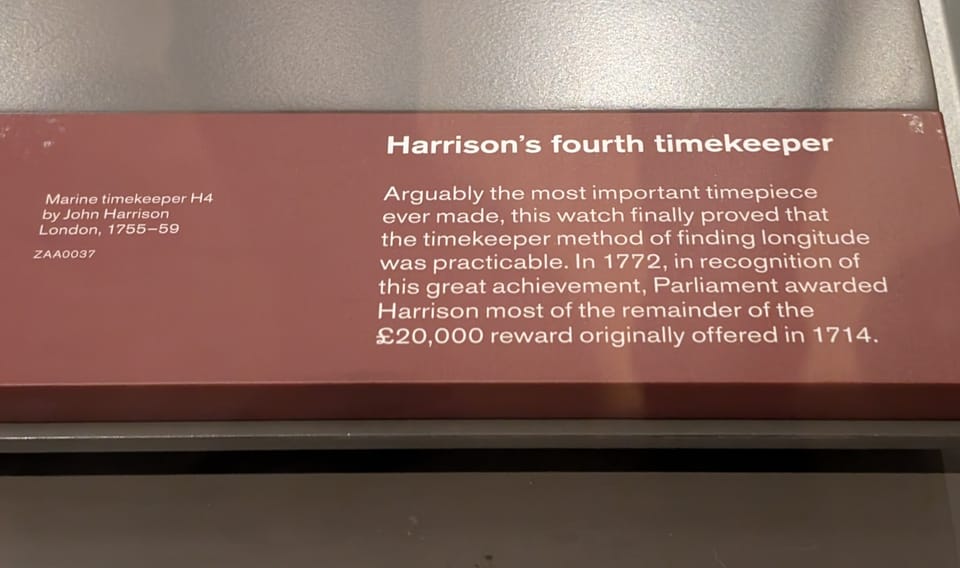
I visited the Royal Observatory Greenwich a few years ago. Harrison’s chronometers are on display there. What struck me wasn’t the craftsmanship, it was the placard: “arguably the most important timepiece ever made.” For a clock. The reason, it turns out, is worth understanding.
In 1714, the British government passed the Longitude Act, offering £20,000 to anyone who could solve one of the most consequential navigational problems in history. Ships crossing open oceans were navigationally blind in one dimension. Latitude was calculable from the sun’s position at noon. Longitude was not.
The reason was deceptively simple: calculating longitude requires knowing the precise time at a reference meridian while at sea. If you know it is noon where you are, and you know the exact time back in Greenwich, the difference tells you how far east or west you have traveled. Earth rotates 15 degrees per hour. One hour of difference equals 15 degrees of longitude, roughly 1,700 kilometers at the equator.
The problem was that no clock of the era could maintain accuracy across a months-long sea voyage. Temperature changes, humidity, and the constant motion of a ship at sea caused pendulum clocks to drift unpredictably. A clock that lost just three seconds per day would accumulate enough error to place a ship 50 kilometers off course by the end of a transatlantic crossing. Ships were running aground, cargoes were lost, and sailors were dying.
John Harrison, a self-educated carpenter and clockmaker from Lincolnshire, spent four decades solving it. His fourth marine chronometer, completed in 1759, lost only five seconds over an 81-day voyage to Jamaica. The Longitude Board eventually awarded him the prize money, reluctantly and only after King George III intervened on his behalf.
The breakthrough wasn’t a better map, a better compass, or a better ship. It was a more accurate clock. Harrison’s chronometer unlocked global maritime navigation and with it the expansion of global trade at a scale previously impossible.
GPS and the Precision That Built the Mobile Economy
Two and a half centuries after Harrison, the United States Department of Defense launched the Global Positioning System. The core insight was the same as Harrison’s: if you know the precise time at multiple reference points, you can calculate position.
GPS works by trilateration. Each satellite continuously broadcasts its position and the precise time according to its onboard atomic clock. A receiver picks up signals from at least four satellites simultaneously. The receiver calculates how long each signal took to arrive, and from those time-of-flight measurements, computes its position in three dimensions. The fourth satellite corrects for the receiver’s own clock error, since consumer devices don’t carry atomic clocks.
The atomic clocks aboard GPS satellites maintain precision to within 10-30 nanoseconds. At the speed of light, that timing precision resolves to 3-9 meters of positional accuracy. That is the physics. The 3-5 meter accuracy most people experience from their phones isn’t an engineering limitation waiting to be solved. It falls directly out of the timing math.
What that threshold made possible was transformative. Ride-sharing didn’t exist before GPS. Real-time driver-passenger location matching at scale requires knowing where both parties are, continuously, to within a few meters. The same is true for food delivery, fleet optimization, precision agriculture, and turn-by-turn navigation. None of these were incremental improvements on what came before. They were structurally new business models and industries made possible by a specific level of timing precision applied at planetary scale.
GPS also has a hard architectural constraint baked in at the design level. Signals originate roughly 20,200 kilometers above Earth. By the time they reach ground level, they are extremely weak. Building materials, concrete, steel, and glass attenuate them sharply, often past the point where a receiver can acquire the signal. In dense urban environments, signals reflect off building facades and arrive via multiple paths simultaneously, introducing timing errors that compound into significant positioning degradation. This is not a solvable engineering problem. It follows from where the signal originates and how it propagates through the physical environment.
ZaiNar and the Sub-Nanosecond Threshold
ZaiNar emerged from stealth this week with $100M+ invested and a $1B+ valuation. The company has spent nine years on a problem at the intersection of RF engineering, signal processing, and distributed systems. The achievement: sub-nanosecond time synchronization across wireless networks without dedicated hardware.
The underlying principle is identical to GPS. Distance is derived from time of flight. At the speed of light, 1 nanosecond of timing precision resolves to roughly 30 centimeters: sub-nanosecond precision therefore delivers sub-meter positional accuracy, indoors, in 3D, in real time, using the 5G and WiFi infrastructure already deployed.
The tracked device does nothing: no special hardware, no additional software, no additional battery drain. It transmits normally. The network does the computation.
ZaiNar has filed more than 100 patents and been issued 90, with a 100% allowance rate across all responses received. In RF engineering, a field active since before World War II, that allowance rate is a statistical anomaly.
The company is already deployed across healthcare, construction, and industrial operations on multiple continents, with $450M+ in contracts and memoranda of understanding.
The implications extend beyond positioning.
Data centers send packets with buffer gaps to prevent collisions, the same way cars leave following distance on a highway. Sub-nanosecond synchronization could shrink those buffers dramatically, potentially doubling throughput without additional bandwidth or power.
GPS can be jammed or spoofed. ZaiNar’s approach uses existing cellular and WiFi signals to create a terrestrial backup that cannot be fooled the same way. For defense and critical infrastructure applications, that redundancy has immediate value.
Why I Invested
I invested in ZaiNar’s most recent round because of the pattern. Harrison’s chronometer didn’t produce a better version of dead reckoning. It made something structurally new possible. GPS didn’t produce better paper maps. It made ride-sharing, real-time logistics, and the mobile economy possible.
Each precision threshold in the history of timing technology has done the same thing: not incrementally improved an existing application class, but enabled one that was previously impossible.
Physical AI, the class of systems that must navigate and act in the physical world at scale, has been constrained by exactly the problem ZaiNar solves. Machines that operate in hospitals, construction sites, warehouses, and urban environments need continuous, sub-meter location awareness to function reliably.
The question worth sitting with: what does sub-nanosecond terrestrial precision do for Physical AI the way GPS transformed outdoor navigation and Harrison’s chronometer transformed maritime navigation?
If you are building or investing in physical AI, robotics, or autonomous systems and want to compare notes, I welcome the conversation.